

California's Only Fly Fishing Report
Thats Updated Weekly

Scan here to view fishing report on phone


Lower Owens River


FISHING REPORT
Updated - 7/25/26
Scroll down for links to information about Lodging,
Maps and up to the minute Stream Flows
Flows & Water Conditions: CFS: 358 CFS below Pleasant Valley Dam (for up to the minute flow reports click on link below)
Fishing Report & Conditions-Poor: The flows are high and dangerous which is keeping fishermen away. Upper Owens is a better bet right now."
For detailed regulations click here: https://www.wildlife.ca.gov/Regulations
Scroll Down To See our Hatch Chart Below
LODGING NEAR
Lower Owens Area
LOCAL FLY SHOPS
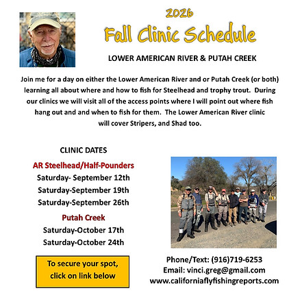
FALL
Clinics
Click here for info

Home
EASTERN SIERRA
Truckee River
Little Truckee River
West Carson River
East Carson River
West Walker River
East Walker River
Upper Owens River
Lower Owens River
Hot Creek
Crowley Lake
Pyramid Lake
WEST SLOPE NORTHERN SIERRA
Upper Sacramento River
McCloud River
Hat Creek
Fall River
Pit River
Almanor Lake
Baum Lake
STILLWATERS
Lower Elevation Still Waters
VALLEY TAIL WATERS
Lower Sacramento River
Feather River
Lower Yuba River
Lower American River
Lower Mokelumne River
Putah Creek
NORTH COAST
Trinity River
Klamath River
Russian River
HATCH CHART - LOWER OWENS RIVER
About the Lower Owens River
The most upstream section of the lower Owens is reached by turning onto Pleasant Valley Dam Rd off of Hwy 395 which is located about 6.8 mi north of Bishop. Go north east for about 1.3 mi to the campground located on the banks of the river. After you cross the bridge you can turn right or left on Chalk Bluffs Rd that runs alongside the river for several miles.
Below Pleasant Valley Dam, the river runs through a short freestone section and then meanders through the sagebrush and rabbit brush flats, very much like a spring creek. There are several dirt roads that intersect with Chalk Bluffs Rd that will allow you to drive right up to the river. Those access roads can get mucky after a rain so be aware that what looks like a shallow puddle can be a quagmire. Once you reach the area known as Five Points (see map) floating the river in a watercraft is the best strategy as the stream side vegetation is too thick to access the water from the bank. Since there is no actual boat launch, it would be advised to hire a guide to provide watercraft transportation. Guide information can be contacted through fly shops in Bishop or Mammoth Lakes. Information about guides is available by clicking the Guide link on this page.
The banks of the upper section are very steep which make wading difficult except during the lowest flows that occur in the winter. Be aware that regulations vary depending upon which section of the river you are fishing. The section between the dam and the footbridge at the lower end of Pleasant Valley Campground has different regulations than the three mile section from the footbridge down to the redwood sport fishing regulations sign. See the Stream Facts section at the end of this chapter for specifics.
Fishing the lower Owens has similarities to fishing any spring creek, except the fish in most cases are not quite as finicky. Another difference is that the flows can change day to day and season to season due to power generation needs at dam. When flows change the fish will re distribute themselves which will require some sleuthing on the fisherman’s part. Flow change can cause the fish to go off bite too. The lowest flows are in the winter which is fortunate as the river is open to fishing year round. The fact that the river is located at a relatively low elevation, the water stays relatively warm and rarely freezes.
Upstream from Five Points most of the fish are Browns that vary in length from ten to fifteen inches, and there are a lot of them. Some big bruisers hang out in the undercut banks. The river downstream from Five Points gets regular plants of Rainbows.
